Should I irrigate? How high is the river getting?
These are questions that can now be answered using real-time data, information that is delivered immediately after collection. There is no delay in the timeliness of the information provided. Real-time data for Dakota County can be found using the links below.

WEATHER STATIONS
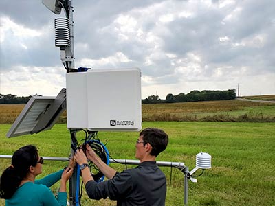
North Dakota Agricultural Weather Station (NDAWN) located in Dakota County, south of Hastings
Dakota County weather station located at the Extension & Conservation building in Farmington
Community Collaborative Rain, Hail & Snow Network

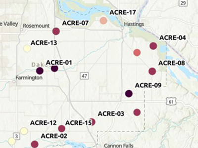
AGRICULTURAL CHEMICAL REDUCTION EFFORT (ACRE)
ACRE Dashboard


